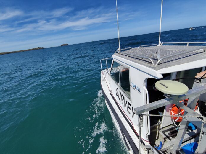
Hydrographic survey is a method of measurement that includes a description of underwater conditions that impact maritime navigation, dredging, construction of marine structures, offshore oil exploration/offshore drilling, and other associated activities. Hydrographic survey companies accurately determine the water’s depth, which aids in correlating and interpreting results from different methods to measure depth from the bottom that provides sub-bottom data and allows a quality assessment for the data. Since the area being mapped is not directly visible or occupied, it is necessary to determine topography using depth measurements. The process converts the raw data gathered through the hydrographic survey to provide the user’s information.
The Importance of Hydrography
The fishing and ship vessels use hydrographs to determine whether a zone is safe to enter, either before or out on the water. It is crucial to get the underwater measurements and descriptions of the physical characteristics of oceans, lakes, and coastal regions rivers, along with the forecast of their changes over time, to ensure the safety of navigation and aid of another marine.
Scopes of Hydrographic Surveys
Hydrographic surveys are often needed when someone needs to make a significant change to the watershed. These include projects like:
- Marinas or docks that are constructed
- Dredging
- Waterway planning
- Diverting water sources
- The removal of soil
- Location of the wreck
Teams involved in the projects must be aware of the exact location of the land. Imagine building an apartment in a small area but then discovering a large ditch that runs through your property. It is precisely what it would be like, to begin with, a project that relies on the water without the help of a hydrographic survey.
Water Depth Estimation
The reason why hydrographic surveys are conducted is to find out the depth of the body of water. It is essential for every construction job for all parties involved to be aware of how deep the area of their building is. Furthermore, the water depth is a crucial piece of knowledge in navigation in the maritime sector. The bodies of water are brimming with uneven soil, reefs of coral, and other hidden obstacles that threaten the vessels traveling through them. A lot of times, surveys are used for port planning and construction. This is crucial for safety in shipping. With the many ships that come in and out of ports, it is essential to be aware of how vessels can navigate and what they cannot.
Results
Another common practice is to survey an area before and after completing a project. For instance, if it needs to dredge a river, one of the hydrographic survey companies’ expert survey team is brought and given a clear view of the river’s bottom and any sunken or obstacles objects that are lying in the river. After they had completed the dredging, they would then take the survey team back to present them with the results of their efforts.


